Google Maps will now tell you how packed your train will be
It'll gauge crowdedness based on previous rides.


- Named a Tech Media Trailblazer by the Consumer Technology Association in 2019, a winner of SPJ NorCal's Excellence in Journalism Awards in 2022 and has three times been a finalist in the LA Press Club's National Arts & Entertainment Journalism Awards.
Find out if your train or bus will have standing room only, or if you'll be able to snag a seat.
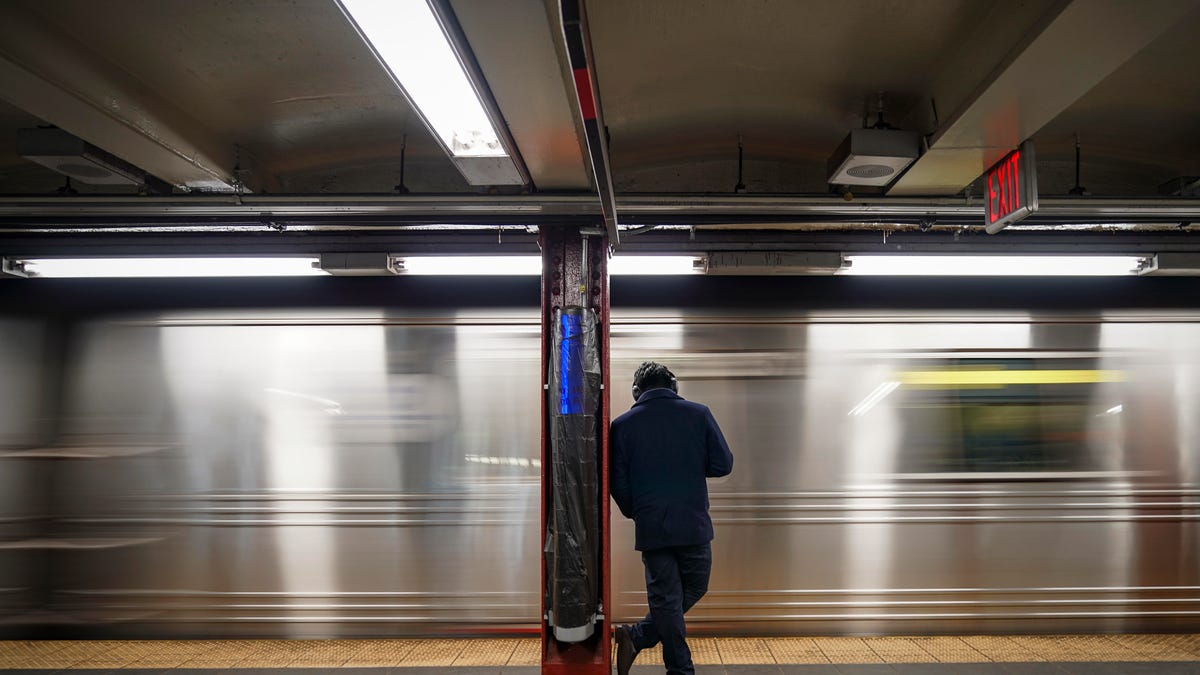
Now you can know just how miserable your commute will (or won't) be before you even get to the train station. Google Maps on Thursday rolled out a feature that predicts how crowded a train, subway or bus will be based on previous rides. Riders can see this information and then decide if they want to stick it out or wait for things to clear up.
The company also launched live updates on traffic delays for buses in locations where it doesn't already have real-time information from local transit agencies. Riders can now see if their bus will be late and how long they'll have to wait. They'll also get more-precise travel times based on live traffic conditions, and will be able to see where the delays are on the map.
The two features roll out Thursday in around 200 cities worldwide, and are available on both Android and iOS .